The four launch maps
The official locations overview names four maps and gives East Haddonfield its own setting and landmark description. The three other maps also have dedicated previews with additional landmark and traversal notes.
| Map | Setting | Key landmarks | Structure and traversal |
|---|---|---|---|
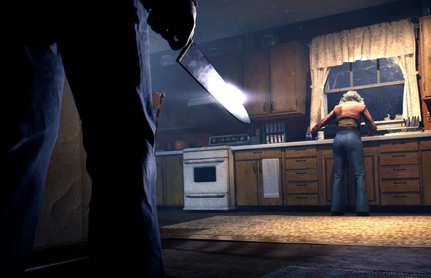
| Haddonfield Heights | Residential neighborhood | Myers House; Lampkin Lane; water tower | Single-story homes, fenced yards, dim streets, and the abandoned Myers House |
| Haddonfield Town Center | Commercial and civic downtown | Nichols Hardware; Patty's Pub; A-Side Music Store; Hill Garden Center; Post Office; Margie's Auto Repair; cemetery | Indoor shops and public spaces, including a pay phone outside Patty's and an expansive post-office mail room |
| Orange Grove Estates | Larger upscale suburb | Wallace House; Doyle House; neighborhood park | Multi-story homes, hallways, garages, balconies, fences, hedges, open streets, cars, and bikes |
| East Haddonfield | Rural agricultural outskirts | The Rabbit in Red Lounge; Phelps Garage; Midwest Feed Company | Farmland and open rural space around a biker bar, garage, and feed-company hub |
Haddonfield Heights
Haddonfield Heights is the clearest residential snapshot in the current reveal set. The PAX East demo describes modest single-story homes, fenced yards, dimly lit streets, and the abandoned Myers House. The map flythrough also names the Haddonfield water tower and Lampkin Lane.
The demo puts these locations into the neighborhood's play loop: search car trunks, find an escape route, barricade a home, or use a risky hiding spot. Because matches vary, learn how these spaces connect instead of memorizing one house as the answer.
Haddonfield Town Center
Haddonfield Town Center is the town's commercial and civic hub. Its official reveal is unusually specific about named places, making it the best map for learning Haddonfield's everyday services and public landmarks before the full geometry is available.
| Place | What the official reveal describes |
|---|---|
| Nichols Hardware | Axes, first-aid kits, seasonal treats, and Halloween masks |
| Patty's Pub | Pool tables, a jukebox, drinks, and a pay phone outside |
| A-Side Music Store | Records, instruments, and a rotating music selection |
| Hill Garden Center | Landscaping equipment, plants, decor, and an interactive outdoor display |
| Post Office | A full-service post office with an expansive mail room |
| Margie's Auto Repair | A repair shop serving the town's vehicles |
| Cemetery | Laid-out paths and gravesites away from the downtown streets |
Orange Grove Estates
Orange Grove Estates is the largest-feeling environment in the public map briefs: a suburb of sizable multi-story homes with upstairs and downstairs routes, long hallways, garages, balconies, and multiple entries. Fences and hedges block direct escapes, while the park adds a playground, basketball court, picnic areas, and winding paths.
The Wallace and Doyle houses sit across the upper streets, and the open roads support repaired vehicles and bicycles. The developers frame the combination of open sightlines and layered interiors as a different traversal experience; exact speeds, cooldowns, and route strength are not published yet.
How the map changes between matches
Lootable containers and possible escape routes change from match to match. Learn the streets, buildings, sightlines, and landmarks first; then adapt the route to the items and exit option that appear in that match.